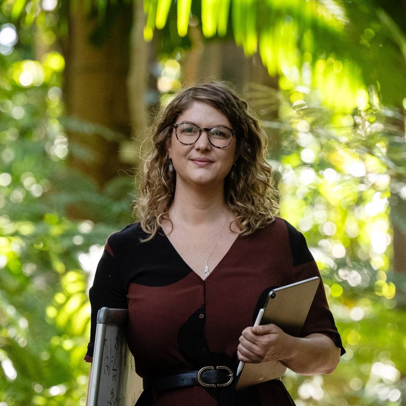
Supervisors

- Position
- Associate Professor in Operations Research
- Division / Faculty
- Faculty of Science

- Position
- Division / Faculty
Overview
https://research.qut.edu.au/environment/https://research.qut.edu.au/environment/Satellite images are a frequent and free source of global data which can be used to effectively monitor the environment. We can see how the land is being used, how it’s being changed, what’s there – even where animals are in the landscape. Using these images is essential, particularly for regions where data is expensive to collect or difficult to physically access, like Antarctica. In Antarctica and the sub-Antarctic islands, satellite images can be an easy and quick way to detect ecological elements – like penguin colonies (from the guano!), native vegetation recovery after management, and invasive plant spread – and environmental elements like ice extent and ice-sheet changes.
Unfortunately, persistent missing data due to cloud cover can make some of these images incomplete or even unusable. This is a big problem when trying to use these free and accessible data for monitoring environmental and ecological change. We have some new statistical tools for filling in these gaps in forests, but Antarctica is a complex system that poses new, big challenges. In this project, we will develop statistical methods to tackle this problem for Antarctic environments.
Research activities
There are statistically rigorous ways to fill these gaps and quantify the uncertainty using spatial and stochastic machine learning methods and make meaning from these satellite images. In this project you will apply these to Antarctic systems in order to map their utility – where are they useful, and where aren't they? What can they capture in this system but what do they miss? Can ground-truthed information help us to develop a confidence in these methods? Then, we will build upon this deep knowledge you've developed to create new statistical machine learning methods tailored specifically for these complex and harsh environments.
Specifically, in this project we anticipate:
- using stochastic spatial random forest method to identify penguin colonies in satellite images
- producing spatial maps indicating the locations of colonies with associated uncertainty
- extending existing statistical methods to incorporate different machine learning algorithms in an uncertainty framework e.g. neural networks
- developing fuzzy logic pixel classification (produce probabilities of multiple classes within a pixel)
This project can be suitable for an Honours, MPhil, or PhD student. Depending on your interests, it would be great for this project to collaborate with interdisciplinary Antarctic and remote sensing scientists through the Australian Research Council Special Research Initiative 'Securing Antarctica's Environmental Future'.
Outcomes
Frameworks and tools using machine learning and fuzzy logic pixel classification that can be used across Antarctica and the sub-Antarctic islands for remote sensing. Fully developed case studies (likely penguin colony mapping) of these tools in action.
Skills and experience
You will have:
- excellent programming skills, or fairly good programming skills that you're keen to work on
- image processing skills using R primarily, occasionally QGIS
- an interest in environmental applications and spatial data
- the ability and interest in communicating with scientists from outside mathematics.
We are particularly interested in applicants from groups that are underrepresented in academia, mathematics, and STEM, based on gender, sexuality, race, culture, disability status. You will join an active and diverse research group (QUT Applied Mathematical Ecology Group), and we have a strong focus on supporting your research development.
Scholarships
You may be eligible to apply for a research scholarship.
Explore our research scholarships
Keywords
Contact
Contact the supervisor for more information.